Hiking trail · Shawka, Ras Al Khaimah
Wadi Shawka Dam Loop
A marked loop over three small summits above Shawka Dam.
- Distance
- 8.2km
- Elevation gain
- +372m
- High point
- 467m
- Time
- 3.5 h
- Difficulty
- Easy
- Route
- Loop
Trail summary
The Wadi Shawka Dam Loop hike at a glance
The Wadi Shawka Dam Loop hike is an 8.2 km loop in Wadi Shawka in Ras Al Khaimah, UAE, with about 372 m of climbing and a high point of about 467 m. Most groups take about 3½ hours. We grade it Easy: steady walking on a clear path, with no scrambling.
Updated 10 November 2026
Route
The map and the climb
Route shown for orientation. Your leader carries the full GPS track. Move along the profile to follow the climb on the map.
About the trail
What to expect
If you have never hiked in the UAE, start here. The loop leaves the dam car park, runs along a flat valley to a shelter, then climbs over three small summits before finishing at an observation deck above the wadi.
The path is clear and signed the whole way, with no scrambling and no exposed edges. Goats and wild donkeys are often on the slopes.
What you'll see
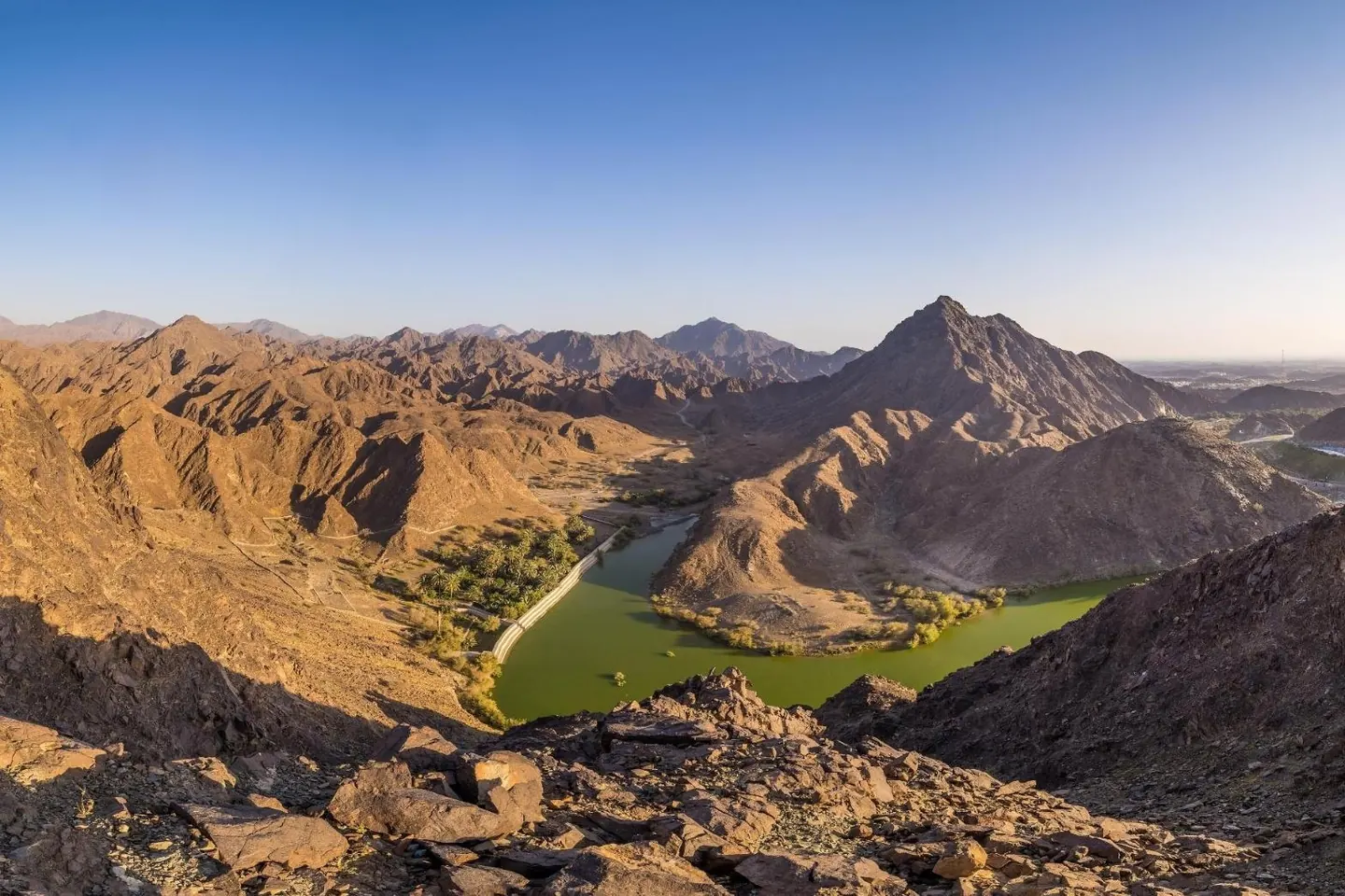
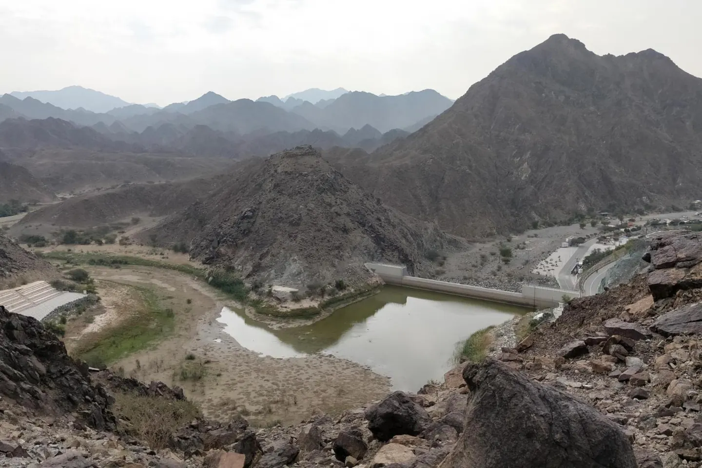
- Shawka Dam and the wadi below
- Three summits, with a flag on the main one
- The observation deck near the end of the loop
Good to know
- Toilets at the car park, and a normal car is fine.
- One short stretch of loose rock, easy to walk around.
- Little shade on the summits. Bring three litres of water.
Trailhead
We send the exact meeting pin on WhatsApp the evening before. Meeting time 06:00.
Photos
Photo credits for Wadi Shawka Dam Loop
- Wadi Shawka Panorama by Florian Kriechbaumer, CC BY-SA 4.0
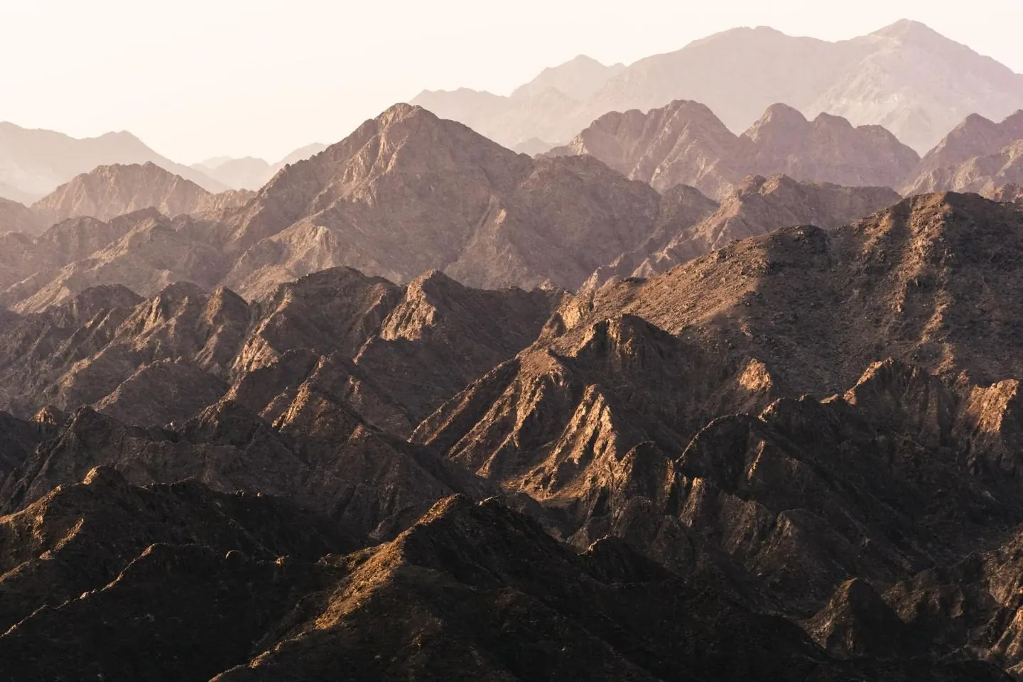
- Mountains of Wadi Shawka 2 by Florian Kriechbaumer, CC BY-SA 4.0
- Wadi Shawkah - 5 by IbrahimKumar, CC BY-SA 4.0


From Wikimedia Commons, cropped and resized. Some show the area around the trail rather than the route itself.
Questions
Wadi Shawka Dam Loop hike FAQ
How long is the Wadi Shawka Dam Loop hike?
8.2 km, loop, with about 372 m of elevation gain. Allow about 3½ hours at a steady pace, including breaks.
How difficult is the Wadi Shawka Dam Loop hike?
We grade it Easy: steady walking on a clear path, with no scrambling.
Where does the Wadi Shawka Dam Loop hike start?
At the Wadi Shawka dam car park in Ras Al Khaimah, near 25.10449, 56.04166. We send the exact meeting pin on WhatsApp the evening before, and groups meet at 06:00.
When is the best time to hike Wadi Shawka Dam Loop?
Between October and April, starting at first light. From May to September it is too hot to hike safely.
Can I join a guided group on the Wadi Shawka Dam Loop hike?
Yes. Trails runs guided small-group hikes on this route most weekends from October to April. Send us your name, WhatsApp number and how many people, and we get back to you with the next dates. AED 99 per person, and your first hike is free.