Hiking trail · Masafi, Fujairah
Wadi Abadilah
Springs, rock pools and farms, then a quiet wadi of polished boulders.
- Distance
- 7.0km
- Elevation gain
- +130m
- High point
- 398m
- Time
- 3 h
- Difficulty
- Moderate
- Route
- Out and back
Trail summary
The Wadi Abadilah hike at a glance
The Wadi Abadilah hike is a 7.0 km out-and-back trail near Masafi, off the Masafi–Dibba road in Fujairah, UAE, with about 130 m of climbing and a high point of about 398 m. Most groups take about 3 hours. We grade it Moderate: steep sections and loose rock, fine for regular walkers.
Updated 10 November 2026
Route
The map and the climb
Route shown for orientation. Your leader carries the full GPS track. Move along the profile to follow the climb on the map.
About the trail
What to expect
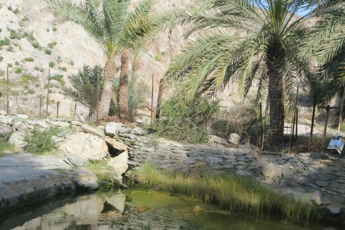
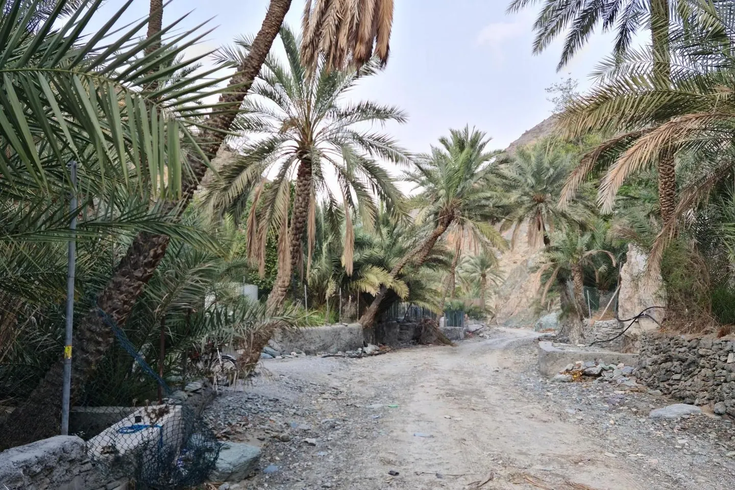
From the parking area off the Masafi–Dibba road, steps lead down into the wadi. The path follows the fences of small farms, with orange and banana trees, and for the first kilometre runs beside flowing water, natural springs and rock pools. It is the busiest stretch, and the greenest.
Further up, the wadi turns dry and quiet. A short flight of stairs on the left takes you round a narrow gap, then you drop back to the riverbed and walk on between polished boulders and the odd pool, scrambling round them where needed. We turn round after about three and a half kilometres and come back the same way.
What you'll see
- Natural springs and rock pools
- Farms with orange and banana trees
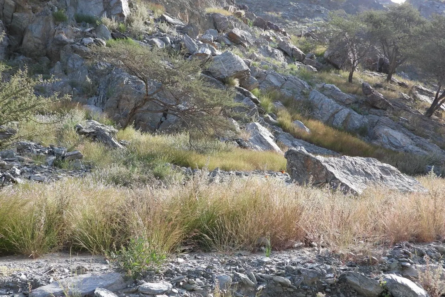
- Polished boulders in the quiet upper wadi
Good to know
- Wet rocks around the pools are slippery. Shoes with good grip matter here.
- There is no mobile signal in parts of the wadi.
- Dogs are not allowed, because of the livestock, and the farms are private, so stay on the path.
Trailhead
We send the exact meeting pin on WhatsApp the evening before. Meeting time 06:30.
Photos
Photo credits for Wadi Abadilah
- The Reflection 01 by Altaf Habib, CC BY-SA 4.0
- Greenery among Dry mountains by Altaf Habib, CC BY-SA 4.0
- Date palms in the Wadi Tayyibah by Alexandermcnabb, CC BY-SA 4.0


From Wikimedia Commons, cropped and resized. Some show the area around the trail rather than the route itself.
Questions
Wadi Abadilah hike FAQ
How long is the Wadi Abadilah hike?
7.0 km, out and back, with about 130 m of elevation gain. Allow about 3 hours at a steady pace, including breaks.
How difficult is the Wadi Abadilah hike?
We grade it Moderate: steep sections and loose rock, fine for regular walkers.
Where does the Wadi Abadilah hike start?
At the parking area beside the wadi, just off the Masafi–Dibba road in Fujairah, near 25.44073, 56.19691. We send the exact meeting pin on WhatsApp the evening before, and groups meet at 06:30.
When is the best time to hike Wadi Abadilah?
Between October and April, starting at first light. From May to September it is too hot to hike safely.
Can I join a guided group on the Wadi Abadilah hike?
Yes. Trails runs guided small-group hikes on this route most weekends from October to April. Send us your name, WhatsApp number and how many people, and we get back to you with the next dates. AED 99 per person, and your first hike is free.