Hiking trail · Khor Fakkan, Sharjah
Al Rafisah to Al Suhub
From a mountain lake to a rest house high above the Gulf of Oman.
- Distance
- 7.7km
- Elevation gain
- +436m
- High point
- 583m
- Time
- 3 h
- Difficulty
- Moderate
- Route
- Out and back
Trail summary
The Al Rafisah to Al Suhub hike at a glance
The Al Rafisah to Al Suhub hike is a 7.7 km out-and-back trail above Khor Fakkan in Sharjah, UAE, with about 436 m of climbing and a high point of about 583 m. Most groups take about 3 hours. We grade it Moderate: steep sections and loose rock, fine for regular walkers.
Updated 10 November 2026
Route
The map and the climb
Route shown for orientation. Your leader carries the full GPS track. Move along the profile to follow the climb on the map.
About the trail
What to expect
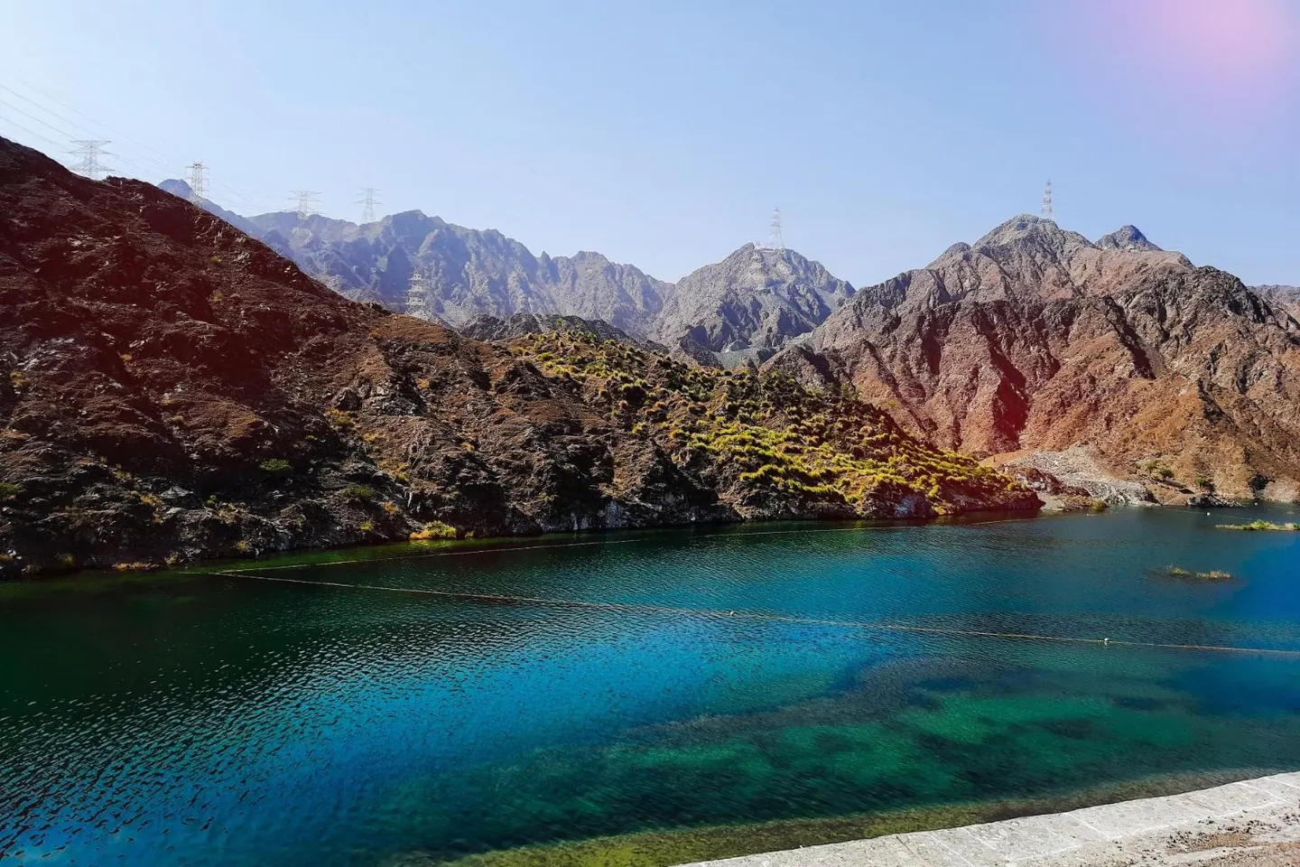
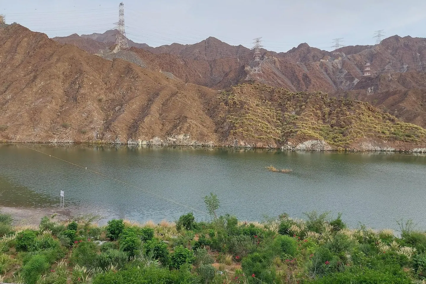
The walk starts on the path around Al Rafisah Dam, where the lake sits between steep brown hills. From the far end, a rocky path climbs steadily to Al Suhub, a rest area 583 m above Khor Fakkan.
At the top there is a café, a short climb to the castle-style lookout, and on clear mornings the whole bay and port laid out below you.
What you'll see
- The lake at Al Rafisah Dam
- The Gulf of Oman from 583 m
- Sunrise over Khor Fakkan
Good to know
- A steady, steep climb on a rocky path, with no scrambling.
- There is a café at Al Suhub, so you can buy breakfast at the top.
- About an hour to an hour and a half each way.
Trailhead
We send the exact meeting pin on WhatsApp the evening before. Meeting time 05:45.
Photos
Photo credits for Al Rafisah to Al Suhub
- Al Rafisa Dam by Unorganised_Landings, CC BY-SA 4.0
- Mountains standing tall ai Al Rafish Dam by Kulsum.fathimaibrahim, CC BY-SA 4.0
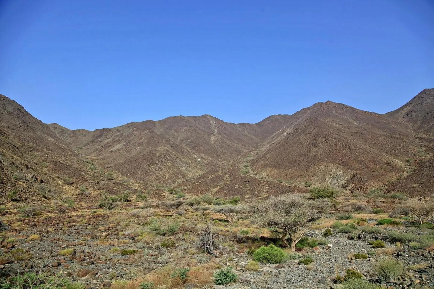
- Montain pass near Khorfakkan city by KpokeJlJla, CC BY-SA 4.0


From Wikimedia Commons, cropped and resized. Some show the area around the trail rather than the route itself.
Questions
Al Rafisah to Al Suhub hike FAQ
How long is the Al Rafisah to Al Suhub hike?
7.7 km, out and back, with about 436 m of elevation gain. Allow about 3 hours at a steady pace, including breaks.
How difficult is the Al Rafisah to Al Suhub hike?
We grade it Moderate: steep sections and loose rock, fine for regular walkers.
Where does the Al Rafisah to Al Suhub hike start?
At the start of the Al Rafisah Dam walk in Sharjah, near 25.34924, 56.31512. We send the exact meeting pin on WhatsApp the evening before, and groups meet at 05:45.
When is the best time to hike Al Rafisah to Al Suhub?
Between October and April, starting at first light. From May to September it is too hot to hike safely.
Can I join a guided group on the Al Rafisah to Al Suhub hike?
Yes. Trails runs guided small-group hikes on this route most weekends from October to April. Send us your name, WhatsApp number and how many people, and we get back to you with the next dates. AED 99 per person, and your first hike is free.